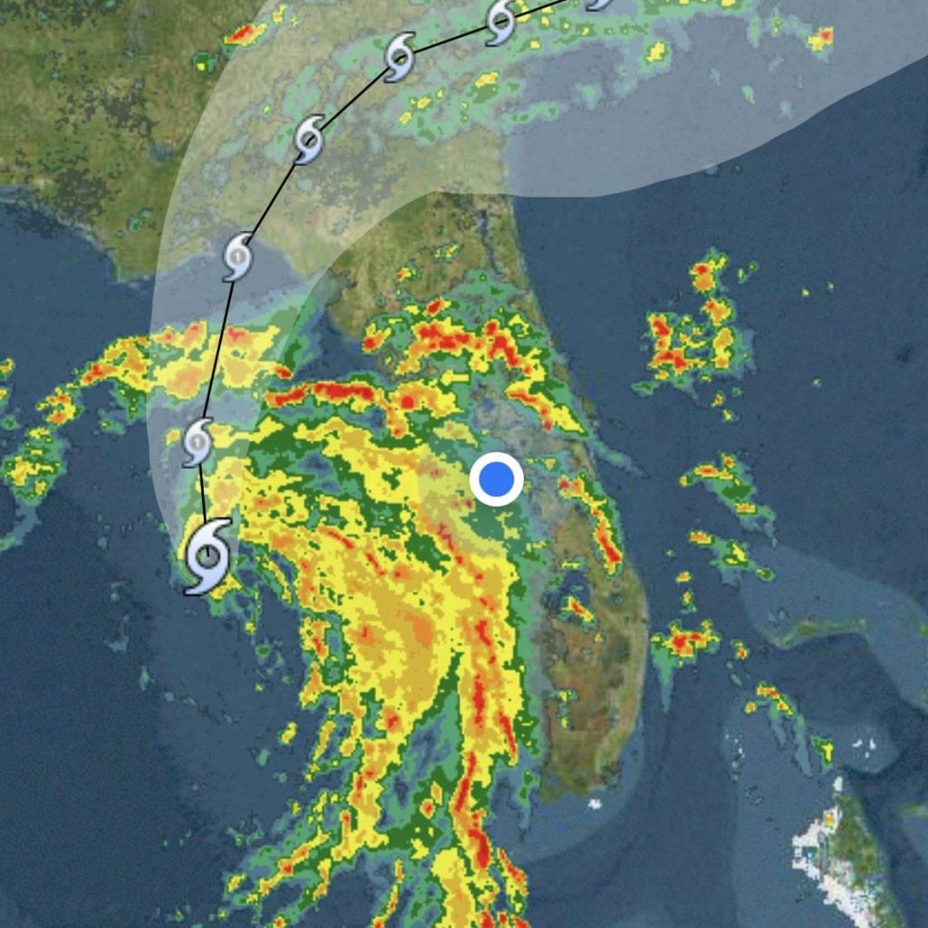
As of 2:15 p.m. today, Lake Wales Daily shares the above radar image of Tropical Storm Debby.
According to the National Weather Service, “The potential exists for localized flooding from heavy rainfall, occasional gusts to tropical storm force, and a few tornado in the outer rainbands over east central Florida (mainly this afternoon into Monday).”
As the storm develops, it is expected to become a hurricane within the next several hours.
“DEBBY EXPECTED TO STRENGTHEN RAPIDLY INTO A HURRICANE BEFORE MAKING LANDFALL IN THE BIG BEND AREA OF FLORIDA… …MAJOR FLOOD THREAT FOR THE SOUTHEASTERN UNITED STATES,” it states on the National Hurricane Center website.
If you have photos and information to share regarding the weather today, you can email maria@dailyridge.
As always, stay safe!


